This app helped me discover hidden gems and explore the great outdoors
Homescreen Heroes: OS Maps is guaranteed to get you out and about like never before
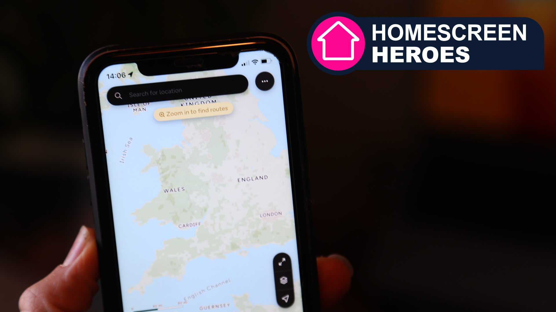
I still remember getting my first physical map. It had a distinct pink cover and contained maps of the Peak District in the UK. Despite no longer having it, it still holds a very dear place in my heart. Even to this day, I love that process of unfolding the map and the joy of folding it back in that predictable way that is common for OS maps.
I now own a number of other maps for different areas of the UK. Each one tells a story of places I’ve visited and people that I’ve met. I know who I’ve holidayed with and the landmarks that I want to go back to. Unfortunately, I haven’t bought a new map in a long while but have instead relied on digital maps and routes. I wonder if I’ve lost something in the process.
I’m not the only one who has entered the digital age, though. It is now possible to access, as they're called here in the UK where I live, "Ordinance Survey (OS) Maps" through OS maps' own app. It guides you through stunning routes while opening up a whole world of undiscovered treasures. I no longer need to rely on owning specific maps but have the whole world at my fingertips. And, yes, it does cover the United States.
This is part of a regular series of articles exploring the apps that we couldn't live without. Read them all here.
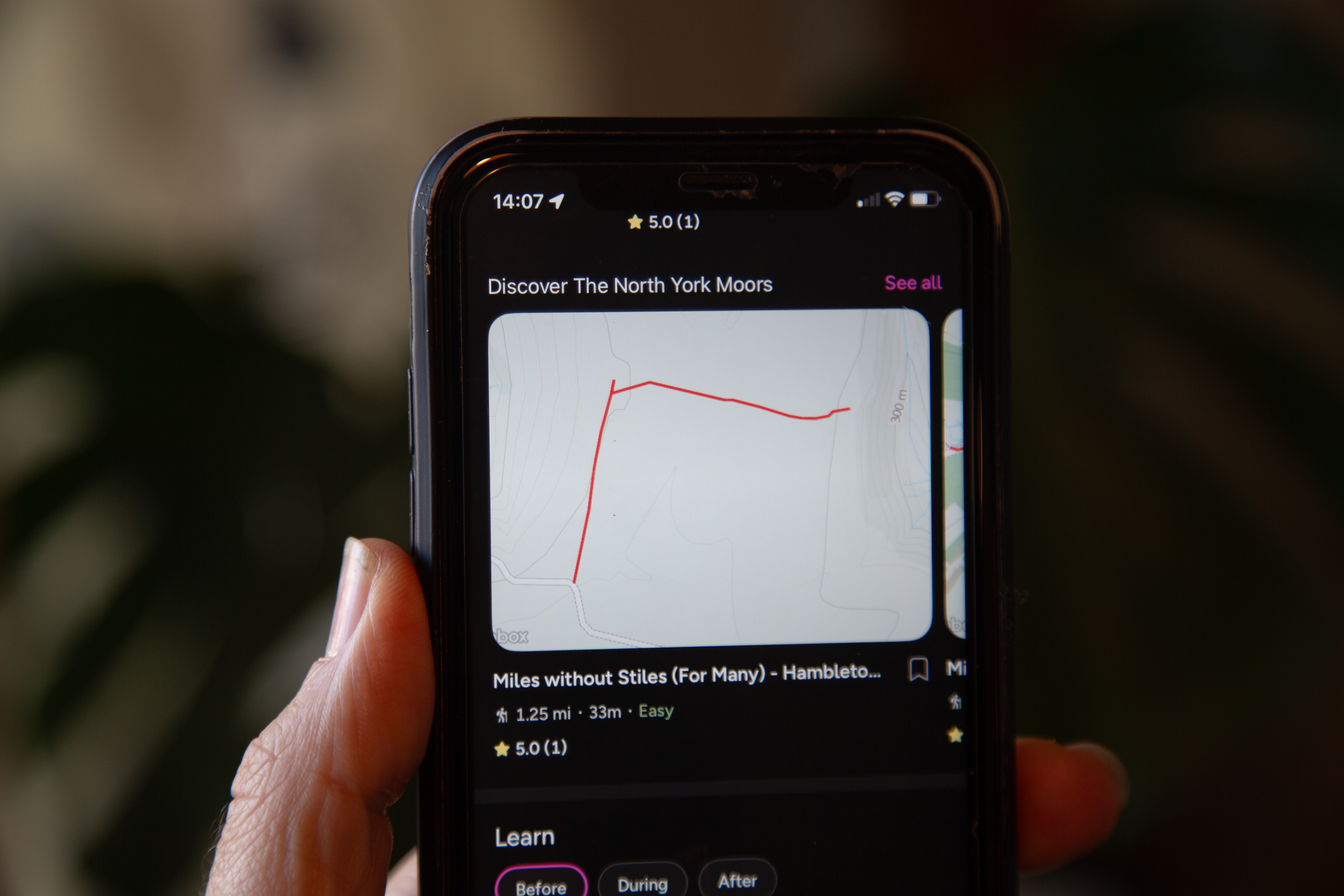
Depending on how adventurous you’re feeling or what type of personality you have, you’ll either want to start by creating your own adventures or following the adventures of others. Both are possible. I began by searching for routes near me. It helped me get my bearings and see whether any of the routes looked familiar. I was disappointed to not see more routes near my local area but after zooming out, I quickly found a number of great options a few miles away.
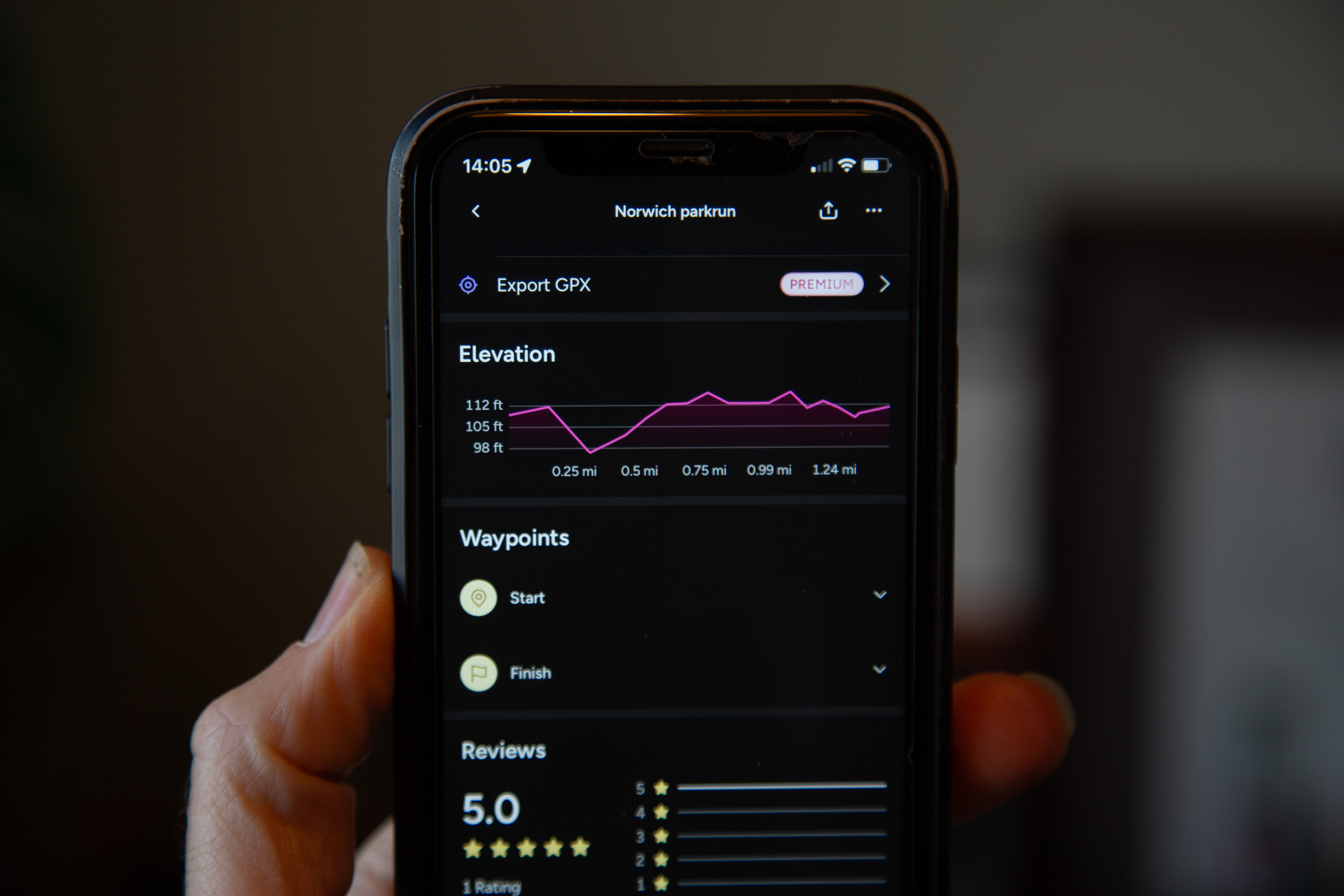
Routes are clearly displayed with a red line overlaid on the OS map. Route properties are presented for each route with details including distance alongside the total ascent and total descent. This helps to quickly determine whether a route is appropriate either for ability or the amount of time available.
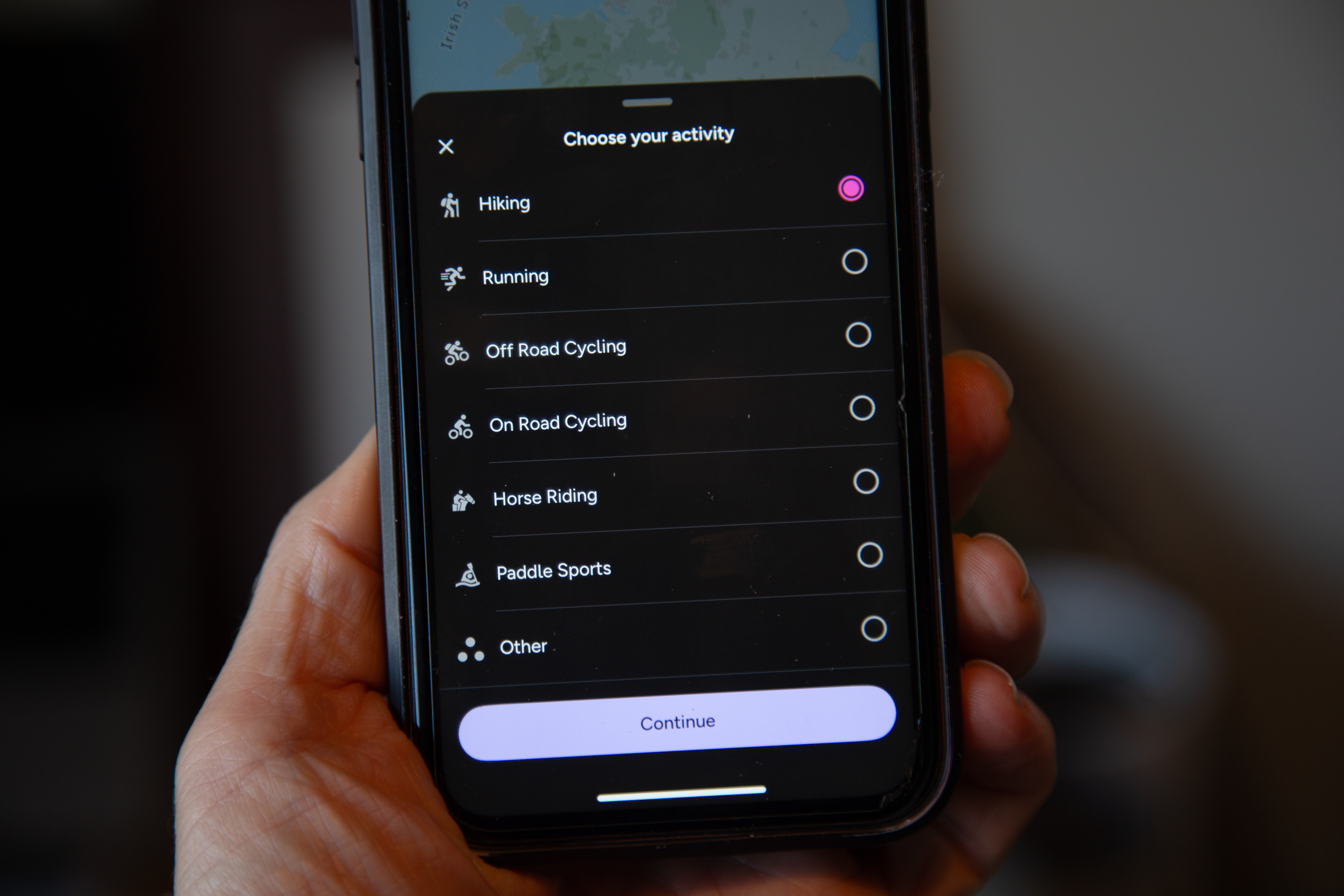
If you choose to do a particular route, then one of the most helpful features at this point is ‘Directions to start’. This opens up your favorite maps app before guiding you straight to the start of the route. OS Maps has thought of everything.
If you need a bit more time and information before deciding, then make sure you check out the Tabletop 3D feature. This is so cool. Simply allow the app to access your camera before putting a flat surface in view of your smartphone camera lens. Click ‘Place Model’ and you’ll see the route before you in 3D. You can then move around and rotate it to see if you like the look of it. Genius.
Get daily insight, inspiration and deals in your inbox
Sign up for breaking news, reviews, opinion, top tech deals, and more.
You’ll also want to check out any reviews before embarking on your journey. User-inputted information is valuable for determining the more ‘human’ aspects of each route. Reviews also include star ratings so you can get a quick idea of whether or not others liked it.
When on the route, the app will provide amazing navigation tools so you never feel lost. This helps if you’re keen on getting off the beaten track. The activity recording feature also lets users keep a log of adventures for future reference. If you think others might like them too, then these can be saved and shared with family or friends.
When out and about, you would be justified in being concerned about losing your mobile signal. That’s the last thing you want to happen when you’re doing a route for the first time or if you need to re-plan a route. Thankfully, it’s possible to download maps and routes to your phone so they’re available to view offline.
Your activities can also be synced across all your devices, including desktop, mobile, and even Apple Watch. This app truly integrates into your electronic ecosystem for a next-level adventure experience.
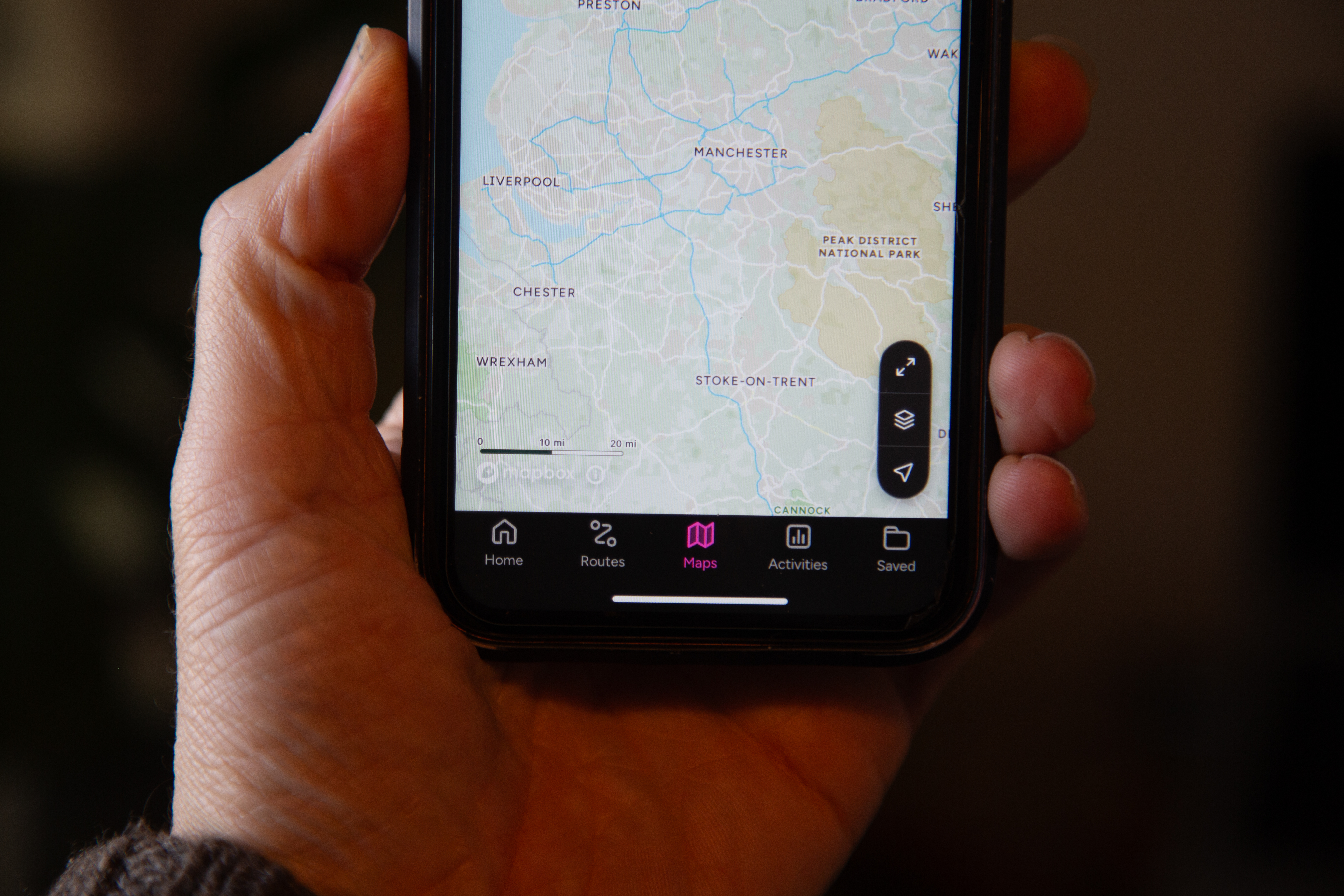
The OS Maps app is available as a premium subscription for $28.99 / £34.99 per year. For the minimal price, you’ll gain access to ordnance survey maps with unlimited use. These maps can be viewed, printed, or even downloaded to your phone. The subscription also makes it possible to discover routes near you, which means you can discover great finds right on your doorstep. Take advantage of a 14-day free trial before committing.
Paul is a digital expert. In the 20 years since he graduated with a first-class honours degree in Computer Science, Paul has been actively involved in a variety of different tech and creative industries that make him the go-to guy for reviews, opinion pieces, and featured articles. With a particular love of all things visual, including photography, videography, and 3D visualisation Paul is never far from a camera or other piece of tech that gets his creative juices going. You'll also find his writing in other places, including Creative Bloq, Digital Camera World, and 3D World Magazine.