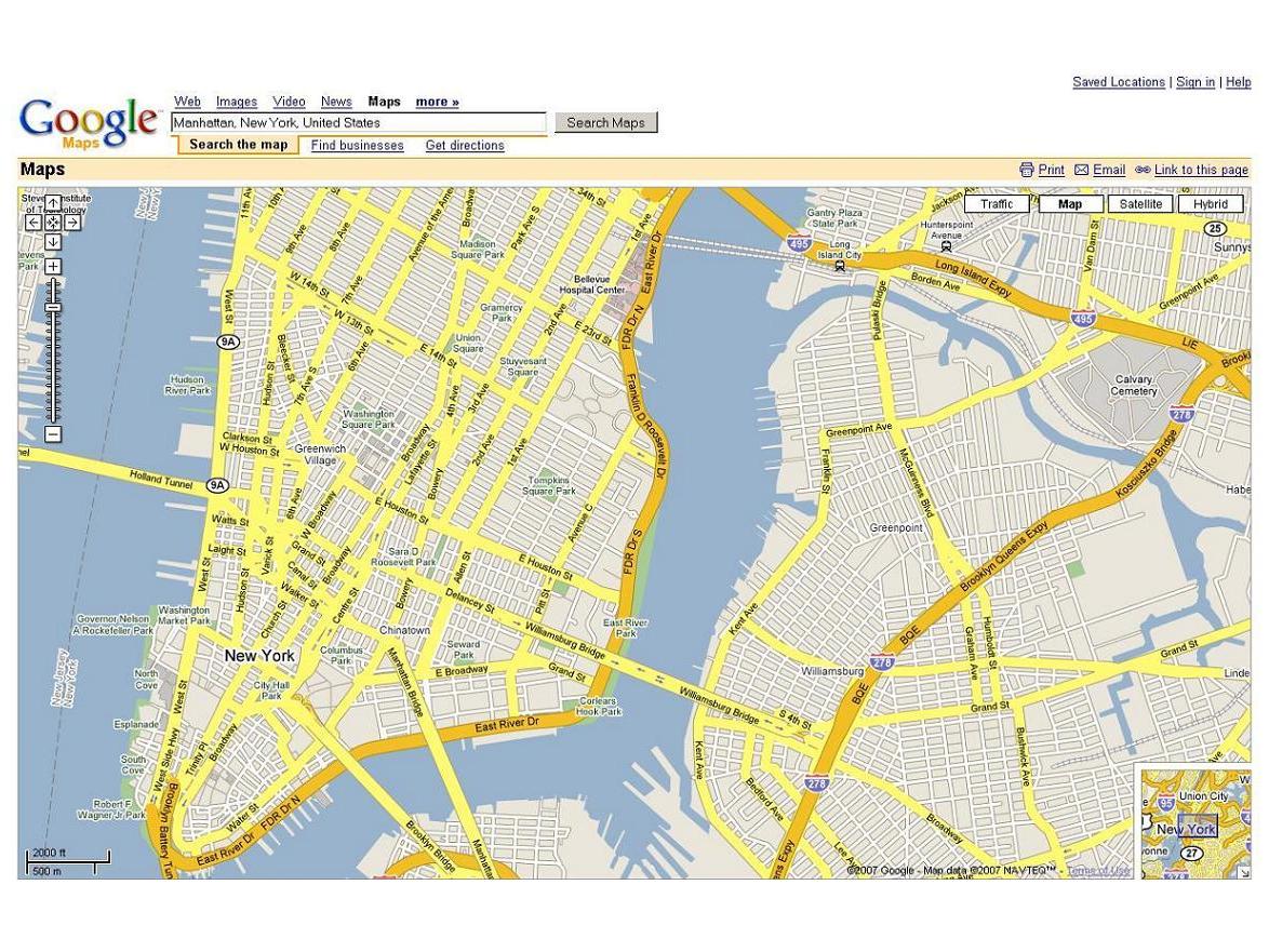
Google Maps get live traffic updates
30 US cities to show congestion information

The US version of Google Maps has added live traffic information for several major cities to its online mapping service.
Real-time traffic data for major highways in more than 30 cities around the US - including Chicago, Dallas, New York, and San Francisco - has been integrated into Google Maps and is colour-coded to highlight traffic conditions. Green means no congestion; yellow indicates minor delays; and red means significant traffic problems. If there isn't enough data to report on road conditions, the roads appear grey.
The data is collected from several sources including road sensors, as well as car and taxi fleets, Google product manager Carl Sjogreen said.
For the time being, Sjogreen added, Google Maps will only provide traffic data for major highways, but it may expand the offering eventually. "We're always looking to improve the comprehensiveness of our traffic information and our coverage areas over time," he said.
Apart from Google, Yahoo Maps also provides real-time traffic information with symbols to signify specific traffic incidents. Google Maps does not offer this service.
A spokesman for Google UK said the company is always looking to provide its services to all users worldwide, but that no immediate plans to add traffic updates to Google Maps UK existed at the moment.
Get daily insight, inspiration and deals in your inbox
Sign up for breaking news, reviews, opinion, top tech deals, and more.