This is a sponsored article in association with Microsoft.
One of the problems of living in the Information Age is that, well, there's too much information.
Government departments are publishing data like never before, archived material is being made public for the first time and Internet users are posting and publishing in incredible quantities.
It's not just one kind of data, either: there are photos and video clips, statistics and essays, opinion and analysis. So how can we make sense of it all?
Instead of drowning in data, we can surf it. For example, the extraordinary MSN Battle of Britain website takes information from a variety of sources and, with some help from Microsoft's Silverlight, Bing Maps and Deep Zoom technologies, makes that data into something truly special.
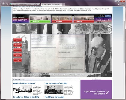
The first thing you'll find is an enormous photo and video archive, all of which lives inside the iconic image of St Paul's with London blazing in the background. Deep Zoom technology enables you to zoom in and see images, captions, and even scans of secret documents detailing Luftwaffe bombing missions.
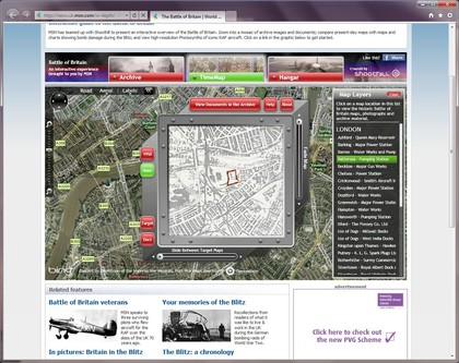
Then there's the TimeMap, which overlays World War 2 maps over present-day ones, shows bombing targets, displays aerial reconnaissance photos, and there's also a series of interactive image walls - based on Microsoft's Photosynth - that enable you to explore some of the aircraft that took part in the Battle of Britain.
Get daily insight, inspiration and deals in your inbox
Sign up for breaking news, reviews, opinion, top tech deals, and more.

IN PLANE VIEW: The MSN Battle of Britain site is an extraordinary resource, packed with photos, maps and even top secret documents
The site was created by Silverlight experts Shoothill. MD Rod Plummer explains how it all came together.
"We started by co-ordinating with the Imperial War Museum to gather the target allocation sheets, target maps and correct aerial reconnaissance photos taken by the Luftwaffe for each target for 35 different bombing missions that took place in London and Coventry during The Blitz," he says.
"We then secured historic Ordnance Survey maps from 1950 of London and Coventry through our partner Groundsure, and by combining them all together, we enable end users to compare these cities before, during and after the raids and so see the results of the bomb damage."
Plummer continues: "We also gathered pictures from the Battle to make the Deep Zoom Picture Wall and lastly, we were given access by the Imperial War Museum and the RAF Museum to the photograph the aircraft featured in the Photosynth 'Hangar'. We then aligned all the maps and photos over the 'modern' world and added a unique feature we've developed called 'TimeScope' which allows users to move around the map and zoom into individual areas."
The maps are organised into layers that enable the user to slide forwards and backwards through time. "Users only see the bits they're interested in as they switch between maps - without this facility, all you would see is an old map over the modern world, so you'd lose your bearings."

EXPLORE HISTORY: By overlaying old maps and other data on modern maps, the Battle of Britain site enables you to slide backwards and forwards through time
This isn't the first war-related site Shoothill has worked on - the team was also responsible for the superb Winston Churchill Deep Zoom mosaic, which it created in conjunction with the Imperial War Museum - and it has something of a track record in bringing different kinds of data together and making them interesting and useful with a little bit of help from Silverlight.
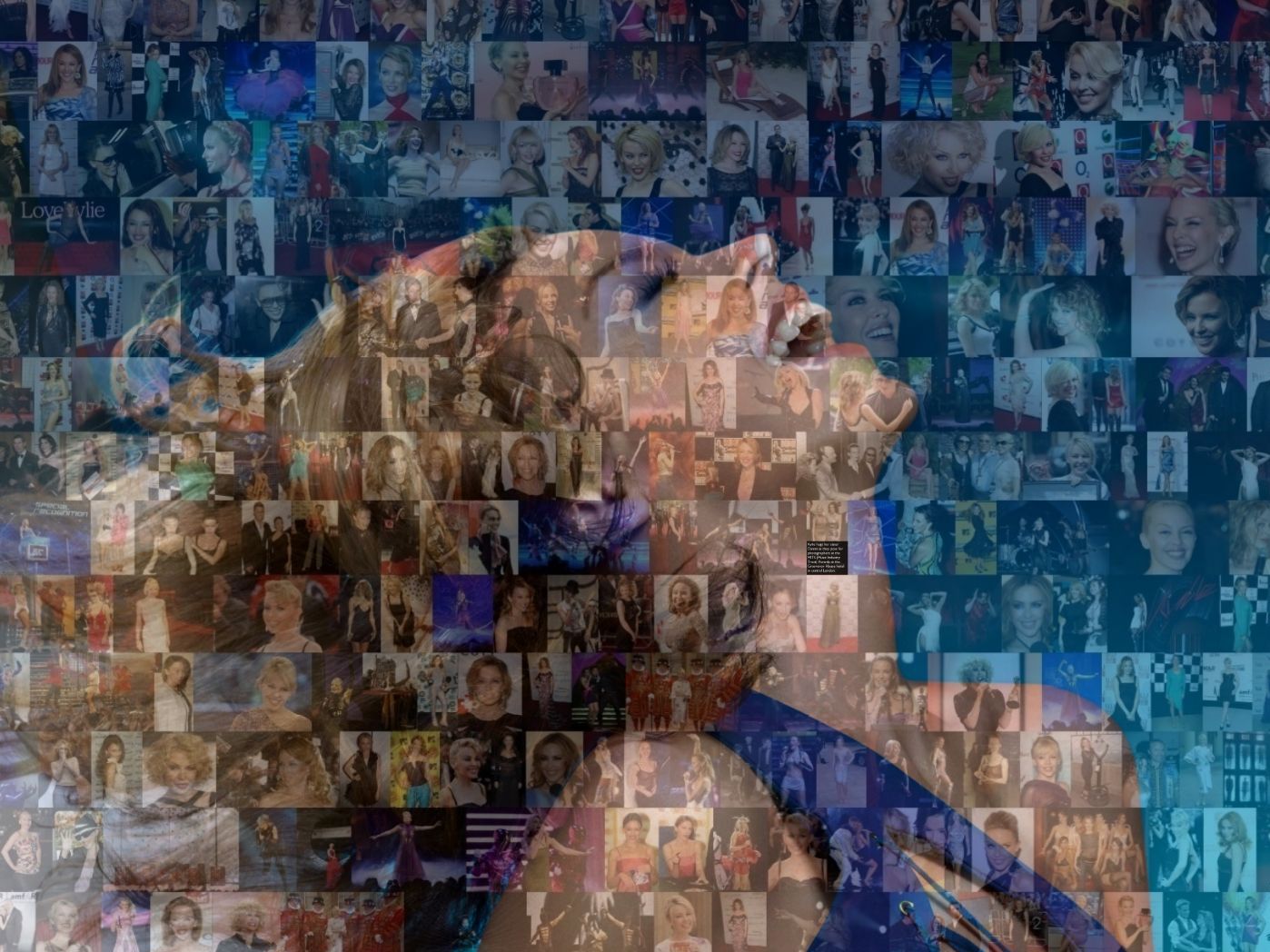
They've even created a Deep Zoom of Kylie Minogue. It's impressive stuff.
"The response to the Battle of Britain Guide has been truly fabulous - we have had a Professor of History complement us and our Local Education Authority is interested in using it as part of its history curriculum," Plummer says, and "we were particularly thrilled when Stephen Fry recently tweeted about the Silverlight Deep Zoom Mosaic we created of the endangered Sumatran tiger for the conservation charity Fauna and Flora International."

EYES OF THE TIGER: This awareness-raising Sumatran Tiger uses Deep Zoom to make a mosaic from images of endangered species and habitats around the world
Marketing manager Lara Page points to three recent successes: a political heatmap showing MPs' expenses, a map for the Stoke Primary Care Trust that "takes huge volumes of complex geographical and socio-economic data, displays it and filters it into selected datasets on a heatmap - this has made it easier for healthcare analysts to spot anomalies and channel healthcare to the areas of greatest medical need" - and the Bombadier Visual Mapping system, which uses Bing mapping technology to plot live train information across Bombadier's entire network.
As Page points out, that's no mean feat: "The service filters through 18,000 bits of data per carriage per hour."
So what's next for Shoothill? Is there a particular project they'd love to get their technical teeth into? "Apart from education we see many additional uses of TimeMap, particularly in urban planning, and we are working on some projects that I'm really excited about," Plummer says.
As for the fantasy project, "I am a real history buff, so my fantasy project for TimeMap would be to expand it to include D-day, the Allied invasion of Normandy, through to Arnhem and The Battle of the Bulge and then to also look at the First World War - the Somme and the Battle of Gallipoli, etc. Now that would be epic!"
The TechRadar hive mind. The Megazord. The Voltron. When our powers combine, we become 'TECHRADAR STAFF'. You'll usually see this author name when the entire team has collaborated on a project or an article, whether that's a run-down ranking of our favorite Marvel films, or a round-up of all the coolest things we've collectively seen at annual tech shows like CES and MWC. We are one.