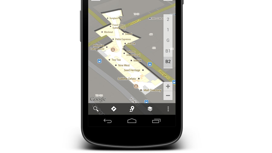
Google maps inside over 200 Aussie buildings
Never be lost again in a Westfield maze again

Google today announced it has upgraded its Maps application to include indoor maps to over 200 public buildings across Australia.
The top-line locations include Sydney, Melbourne and Adelaide Airports, Westfield, Stocklands and Centro shopping centres, IKEA stores, sporting arenas and a number of high profile train stations.
More interesting is the smaller places that get the Google walking tour treatment. Mount Gambier Centre is mapped, as is Mildura Centre, Gympie Shopping Centre and Raymond Terrace Shopping Centre, among many others.
The full list of indoor maps in Australia can be found here.
Not so Paranoid Android
The indoor maps are laid out like floor plans for each of these buildings, with each level of a building mapped separately. The application will even attempt to maintain knowledge of your location using nearby Wi-Fi networks, to help guide you through the store, station or gallery.
You won't need to update the Maps applications on phone and tablets; the new information will be visible when you search for any of the newly mapped locations.
The catch is that at present it is only available on Maps for Android devices, leaving users of the brilliant iOS Google Maps lost inside.
Are you a pro? Subscribe to our newsletter
Sign up to the TechRadar Pro newsletter to get all the top news, opinion, features and guidance your business needs to succeed!
Of course, just like Google Now, the search giant doesn't tend to hold its new features exclusive to Android for long, so expect to see indoor mapping on your iPhone soon enough.