Pluto's pretty geology looks good in Nasa snapshot
It turns out that Pluto rocks

Last year, NASA's New Horizons probe revealed to us some of the most stunning space imagery ever taken. Overnight, our understanding of Pluto went from a few white pixels against a black backdrop to a jaw-dropping reddish marble closeup.
It was a remarkable achievement by humanity to capture the images, which stunned astronomers. Pluto, it turns out, is not simply an inactive lump of rock, but a dwarf planet which is chemically active - as demonstrated by the relatively unscathed surface (if it was dead, we'd have seen craters like on the moon). And there was more geological diversity than could ever have been expected.
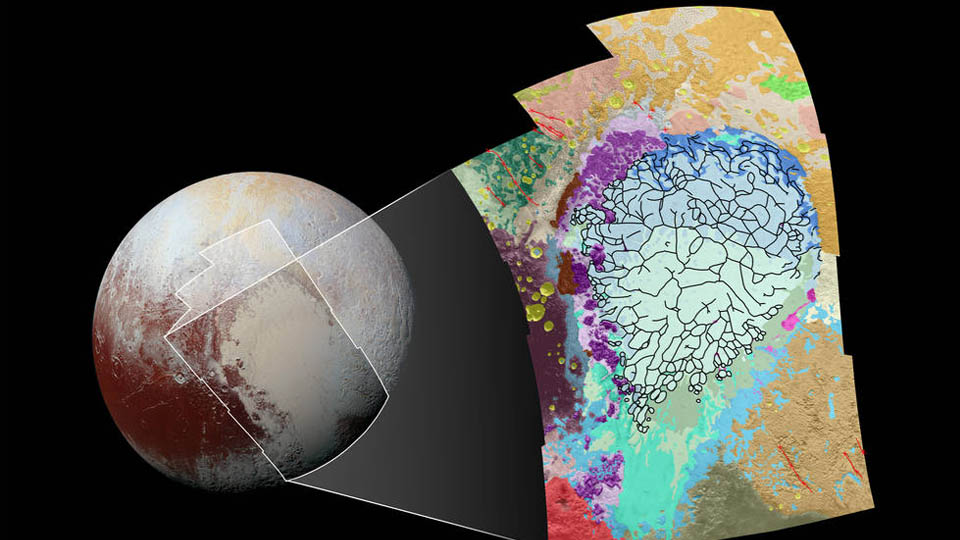
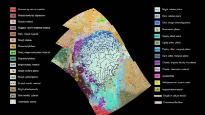
A couple of months on and the space agency has started to make sense of what it captured, and has published a new map of a 1290 mile slice of the Plutonian surface, with land categorised by the morphology and its observed terrain.

Stitched images
At the centre of the map is the nitrogen-ice plain which has become known as the Sputnik Planum. To make sure the map is reliable (and the reason why they haven't been able to do this with the whole planet yet), they have stuck to using only 12 images stitched together that have a resolution of 1050ft per pixel or better. If that doesn't sound very hi-res to you, remember that the photos were snapped at a range of 48,000 miles from the Long Range Reconnaissance Orbiter.
The hope is that the map will better allow scientists to analyse the borders between the terrain types, so they can figure out which overlap on top of which, so that a geological history of the planet can be figured out. But while they do that, we're going to carry on looking at the stunning photos.
(Via Engadget.)
Get daily insight, inspiration and deals in your inbox
Sign up for breaking news, reviews, opinion, top tech deals, and more.